Jupiter Laser RTK: the GNSS receiver with laser and dual camera
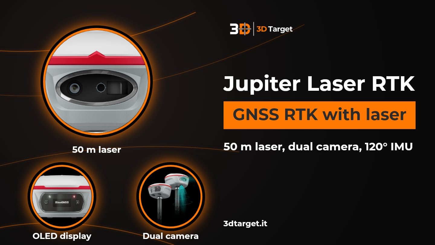
A point that is hard to reach, dangerous or with an obstructed signal: these are the situations where an ordinary GNSS receiver forces you to stop. Jupiter Laser RTK by ComNav Technology is designed for exactly these cases. It is a GNSS RTK receiver that combines GNSS, IMU, a 50 m green laser and a dual camera: it measures points where the pole cannot be placed and guides stakeout with the view from the cameras.
On this page we explain what the laser does, how visual stakeout works, what the accuracy figures mean and which software you need. The data is as declared by ComNav Technology: for configuration, accessories and prices, 3D Target is at your disposal.
Talk to one of our technicians
Jupiter Laser RTK at a glance
| Feature | Data declared by ComNav Technology |
|---|---|
| Sensors | GNSS, IMU, laser and dual camera in a single receiver; K9 platform |
| Tracking | 1,668 channels, over 60 satellites: GPS, BeiDou, GLONASS, Galileo, QZSS, IRNSS, SBAS; PPP B2b and HAS, L-Band |
| RTK accuracy | 8 mm + 1 ppm horizontal, 15 mm + 1 ppm vertical (RMS); initialization in less than 5 s (10 km baseline), reliability 99.99% |
| Static accuracy | 2.5 mm + 0.5 ppm horizontal, 5 mm + 0.5 ppm vertical (RMS) |
| Laser | 50 m range; (3-5) mm + 1 ppm at room temperature; 3 Hz (max 5 Hz); Class 3R |
| Tilt | Auto-IMU up to 120° with 2.5 cm; with the laser at 5 m and 60° tilt: 3.5 cm |
| Cameras | 2 cameras, 2 MP with global shutter, 75° field of view, 30 fps |
| Communication | UHF 410-470 MHz (0.5/1/2 W), 3-15 km; 5 GHz WiFi; Bluetooth 4.0; Type-C |
| Battery | 5000 mAh, 7.2 V, up to 16 h (1.8 W consumption, which increases when transmitting corrections via internal UHF) |
| Ruggedness | IP67; 2 m drop onto concrete; receiver from -40 °C to +65 °C, laser from -20 °C to +50 °C |
| Weight and dimensions | 828 g with internal battery; 13.35 × 6.6 cm |
| Software | Survey Master (Android); optional Microsurvey FieldGenius; SinoGNSS Compass post-processing |
The PPP service is optional. The UHF modem is standard and can be removed if needed. The UHF radio range depends on the environment and the protocol: 15 km is achievable with SNLonglink in ideal conditions.
The laser: measuring where the pole cannot reach
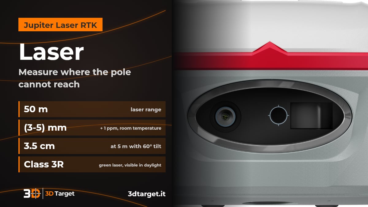
With the green laser of Jupiter Laser RTK you measure from a distance, up to 50 m, the point you cannot reach with the pole. It is the difference between giving up a point and surveying it without moving.
Visible even in daylight: the laser is green and can be seen in daylight, so you aim with confidence.
Accuracy: (3-5) mm + 1 ppm at room temperature, with a measuring frequency of 3 Hz, up to 5 Hz.
With a tilted pole: compensation up to 120° also applies in laser mode; with the laser at 5 m and the pole tilted by 60° the accuracy is 3.5 cm.
The camera helps you aim: the built-in camera lets you target points too far away to be seen with the naked eye.
Safety: Class 3R laser, with emission power from 0.9 to 1.5 mW.
Ask for advice on Jupiter Laser RTK
Visual stakeout with the dual camera
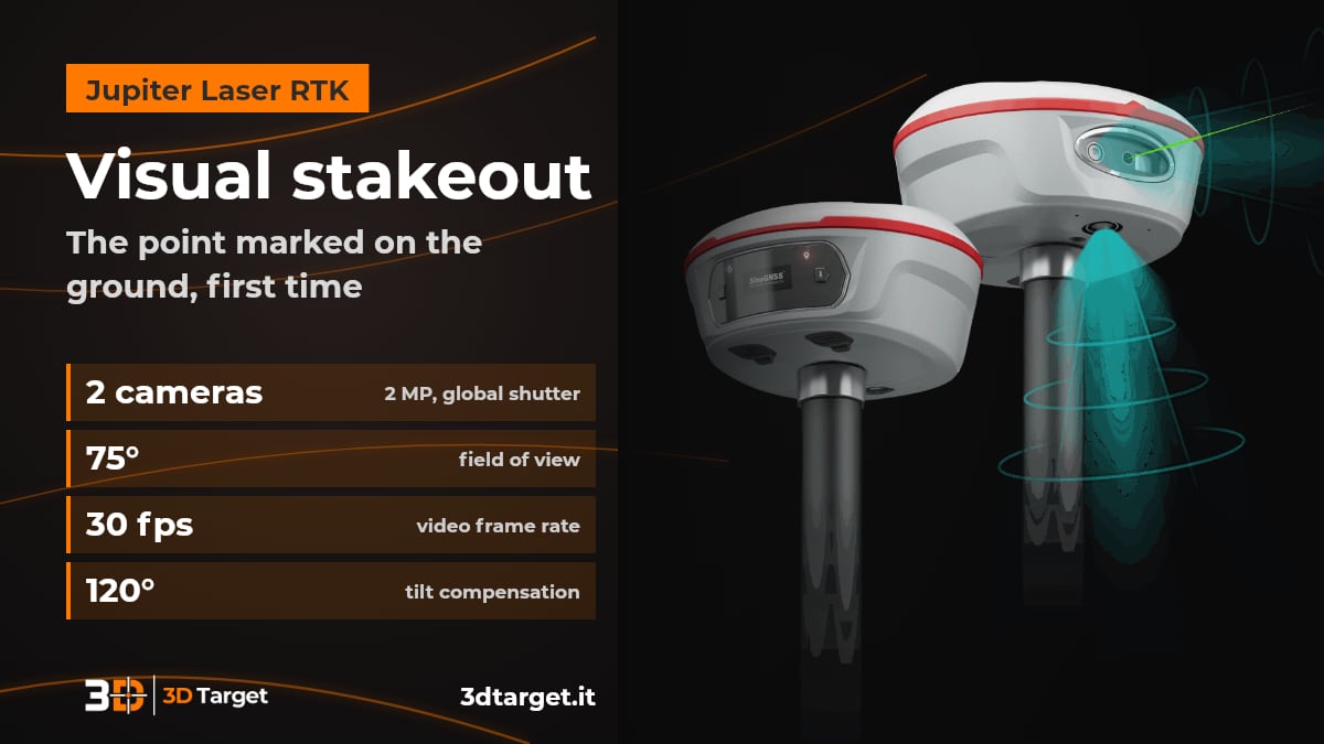
With the dual camera, Survey Master shows a 3D view with the point to stake out marked directly on the ground. Just follow the arrow and the real-time distance.
First time: even a less experienced operator finds the point in one go, without moving the pole back and forth.
Two 2 MP cameras with global shutter: 75° field of view and 30 fps.
Three modes: the IMU compensates tilt up to 120° in conventional surveying, in laser mode and in visual mode.
Accuracy, constellations and Auto-IMU
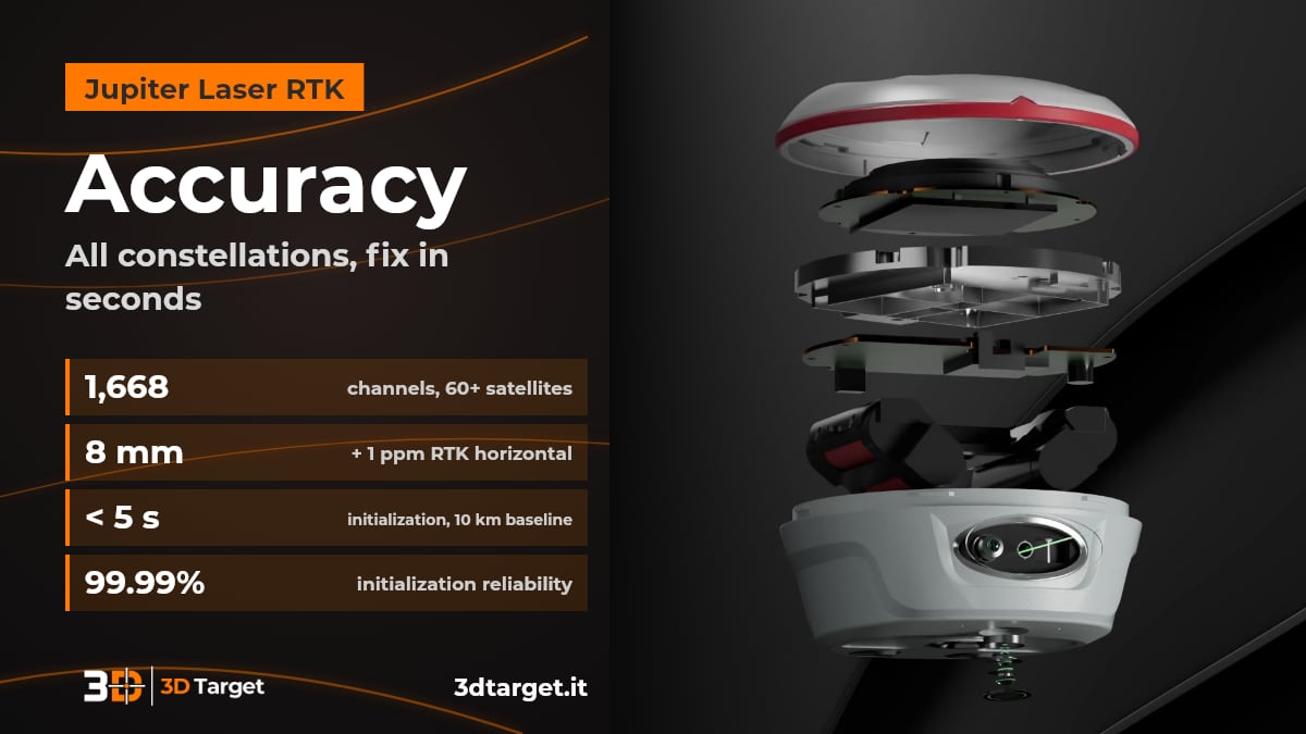
Jupiter Laser RTK tracks 1,668 channels and over 60 satellites, with RTK initialization in less than 5 seconds (10 km baseline) and 8 mm + 1 ppm horizontal accuracy. More satellites means getting a fix in seconds and boosting productivity.
All constellations: GPS, BeiDou, GLONASS, Galileo, QZSS, IRNSS and SBAS, with PPP B2b and HAS and L-Band. The PPP service is optional.
Single baseline RTK: 8 mm + 1 ppm horizontal and 15 mm + 1 ppm vertical (RMS); initialization in less than 5 s with a 10 km baseline and 99.99% reliability.
Static and rapid static: 2.5 mm + 0.5 ppm horizontal and 5 mm + 0.5 ppm vertical (RMS).
Auto-IMU: no manual initialization, automatic calibration and tilt compensation up to 120° with 2.5 cm accuracy.
Radio, ruggedness and software
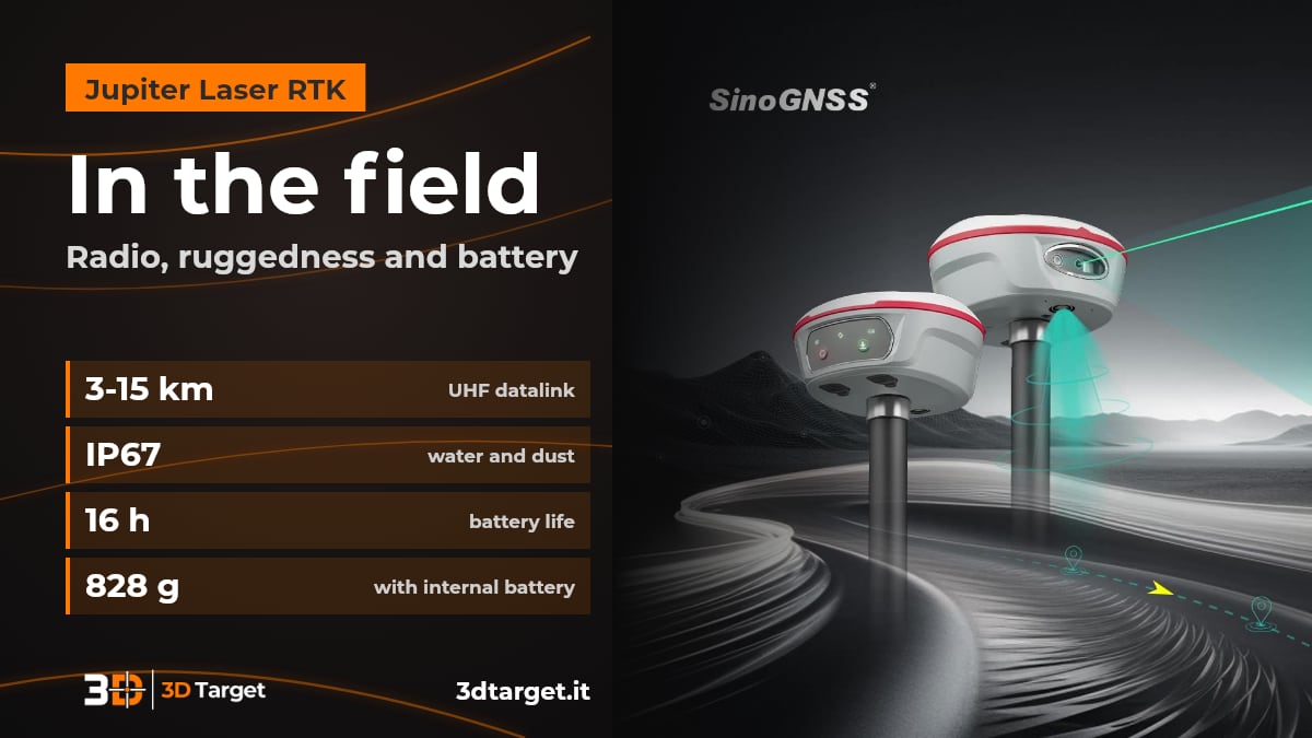
Jupiter Laser RTK has a UHF radio compatible with the main brands, IP67 protection and a 5000 mAh battery lasting up to 16 hours. You work with Survey Master on Android and process data with SinoGNSS Compass.
Super Datalink: UHF across the whole 410-470 MHz band, 0.5, 1 or 2 W power, Transparent, TT450S, South, Mac and SNLonglink protocols. It works with all ComNav receivers and those of the main brands; 3-15 km range, up to 15 km with SNLonglink in ideal conditions.
Connections: 802.11 a/b/g/n WiFi at 5 GHz, Bluetooth 4.0, serial port up to 921,600 bps, Type-C; 4 GB memory, expandable.
Ruggedness: aluminum and magnesium alloy housing, IP67, survives a 2 m drop onto concrete, works from -40 °C to +65 °C (the laser from -20 °C to +50 °C). Consumption is 1.8 W and increases when transmitting corrections with the internal UHF radio. 1.1-inch color OLED display for satellites, fix and battery.
Survey Master: guided wizard, static, PPK and RTK modes, surface stakeout, CAD import, DXF, SHP, KML, GPX and Google Maps basemaps, cloud and remote assistance. Microsurvey FieldGenius for Android and Windows is available as an option.
SinoGNSS Compass: GPS, GLONASS, BeiDou and Galileo post-processing in static and kinematic modes, RINEX and ComNav Raw Binary data, web, DXF, TXT and KML reports, support for the DJI drone data format.
Other instruments are in the GNSS receivers catalog and in the surveying section.
With 3D Target you are not alone in the field
Consulting: we help you understand whether Jupiter Laser RTK suits your work and which configuration you need.
Trial and demo: ask us to see the receiver in action.
Training: to use the instrument and the software.
Support: technical support after purchase.
Integration: our R&D department works on custom solutions.
Discover all 3D Target services and the Jupiter Laser RTK product page. For the official specifications you can also check the Jupiter page on the ComNav Technology website.
Frequently asked questions
What is Jupiter Laser RTK?
It is the ComNav Technology GNSS RTK receiver that combines GNSS, IMU, laser and dual camera. It measures with the laser the points where the pole cannot be placed and guides stakeout with the view from the cameras.
How far does the laser measure?
Up to 50 m, with an accuracy of (3-5) mm + 1 ppm at room temperature. With the laser at 5 m and the pole tilted by 60° the accuracy is 3.5 cm.
How does visual stakeout work?
The cameras show in Survey Master a 3D view with the point to stake out marked on the ground. By following the arrow and the real-time distance you reach the point in one go.
How accurate is it in RTK?
8 mm + 1 ppm horizontal and 15 mm + 1 ppm vertical (RMS), with initialization in less than 5 seconds (10 km baseline) and 99.99% reliability.
Does it work with receivers of other brands?
Yes. The UHF datalink supports the Transparent, TT450S, South, Mac and SNLonglink protocols and works with all ComNav receivers and those of the main brands.
How much does it cost and how do I order it?
We work on quotation. Write to info@3dtarget.it or call +39 030 5357677, or use the contact page.
Got a survey to plan?
Tell us what you need to survey or stake out and in which conditions: we will tell you whether Jupiter Laser RTK is the right solution and how to get started.
The technical data is as declared by ComNav Technology in the datasheet and on the comnavtech.com website and may vary. For up-to-date data, ask us for confirmation. SinoGNSS and ComNav Technology are trademarks of their respective owners; DJI is a trademark of its respective owner.