
Jupiter Laser RTK ComNav Technology, GNSS with laser | 3D TARGET
search
  • Jupiter Laser RTK ComNav Technology, GNSS with laser | 3D TARGET
  • Jupiter Laser RTK ComNav Technology, GNSS with laser | 3D TARGET
  • Jupiter Laser RTK ComNav Technology, GNSS with laser | 3D TARGET
  • Jupiter Laser RTK ComNav Technology, GNSS with laser | 3D TARGET
  • Jupiter Laser RTK ComNav Technology, GNSS with laser | 3D TARGET

Jupiter Laser RTK ComNav Technology

Reference: JupiterLaserRTK

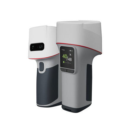
Jupiter Laser RTK by ComNav Technology is the GNSS RTK receiver that combines GNSS, IMU, laser and dual camera: it measures with the green laser up to 50 m the points the pole cannot reach, guides stakeout with the view from the cameras and compensates tilt up to 120°, with 1,668 channels and IP67 protection.
Price on request

Open contact form
close

Domanda prodotto

 
Jupiter Laser RTK ComNav Technology

Jupiter Laser RTK ComNav Technology

€0.00

DescriptionJupiter Laser RTK: the GNSS receiver that measures even where the pole cannot reach, with 50 m green laser, dual camera and tilt compensation up to 120°

Measure the points you cannot reach

Hard-to-reach points, dangerous spots or places where the signal is obstructed: with Jupiter Laser RTK there is no need to place the pole any more. The green laser, visible even in daylight, measures the point from a distance of up to 50 m, with an accuracy of (3-5) mm + 1 ppm at room temperature. And the integrated camera helps you aim at points too far away for the eye.

Visual stakeout, right the first time

With the dual camera, the Survey Master software shows a 3D view of the terrain with the point to stake out marked directly on the ground. Just follow the arrow and the real-time distance: even a less experienced operator finds the point in one go, without moving the pole back and forth.

Fast fix and even a tilted pole

Jupiter Laser RTK is based on the K9 platform and tracks 1,668 channels and over 60 satellites from all constellations, with RTK initialization in under 5 seconds (10 km baseline). The Auto-IMU requires no manual initialization and compensates tilt up to 120° with 2.5 cm accuracy.

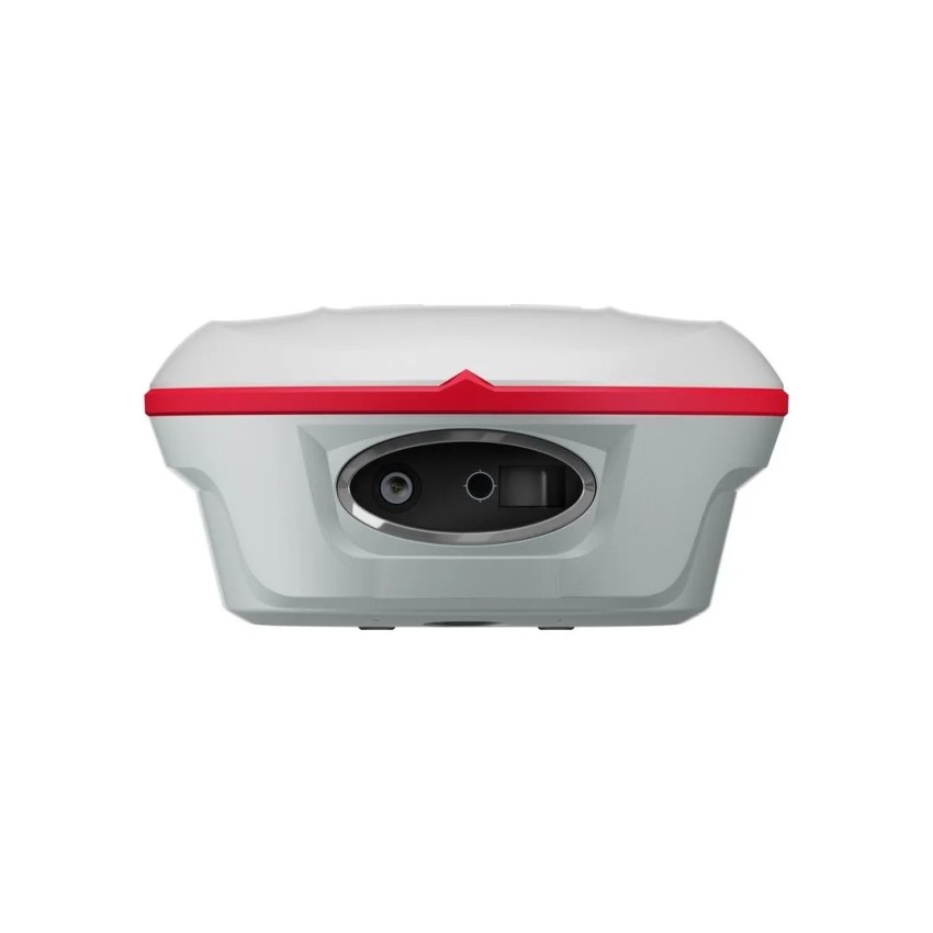
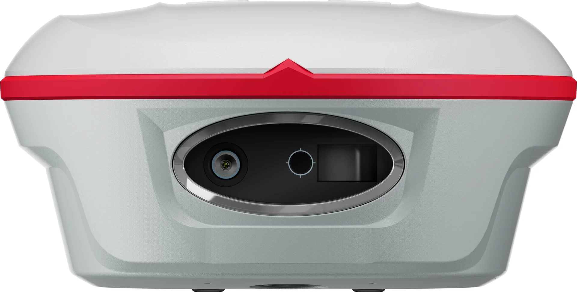
Jupiter Laser RTK by ComNav Technology, front view of the window with laser and camera
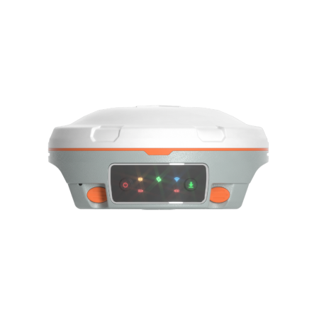
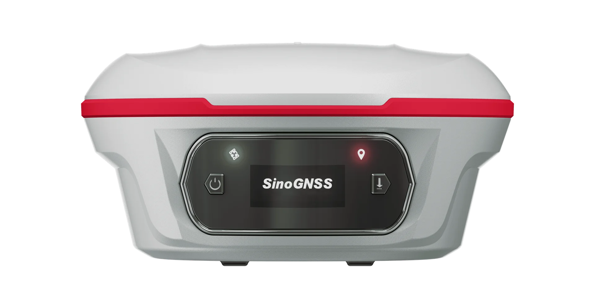
Jupiter Laser RTK, front view with color OLED display and status LEDs
Positioning performance

All constellations, all frequencies

More satellites means getting a fix in a few seconds and getting more done in the day. Jupiter Laser RTK, with the K9 platform, tracks 1,668 channels and over 60 satellites: GPS, BeiDou, GLONASS, Galileo, QZSS, IRNSS and SBAS, with PPP B2b and HAS support and L-Band. The PPP service is optional.

RTK and static accuracy

In RTK, Jupiter Laser RTK reaches 8 mm + 1 ppm horizontally and 15 mm + 1 ppm vertically (RMS). Initialization takes less than 5 seconds with a 10 km baseline and a reliability of 99.99%. In static and rapid static it goes down to 2.5 mm + 0.5 ppm horizontally and 5 mm + 0.5 ppm vertically, for the most demanding jobs.

Auto-IMU with no initialization

In the field every minute saved counts. The Auto-IMU of Jupiter Laser RTK requires no manual initialization and calibrates itself: switch on and get to work. It compensates pole tilt up to 120° with an accuracy of 2.5 cm, and compensation up to 120° stays active in conventional surveying as well as in laser and visual modes. Position data is output at up to 20 Hz.

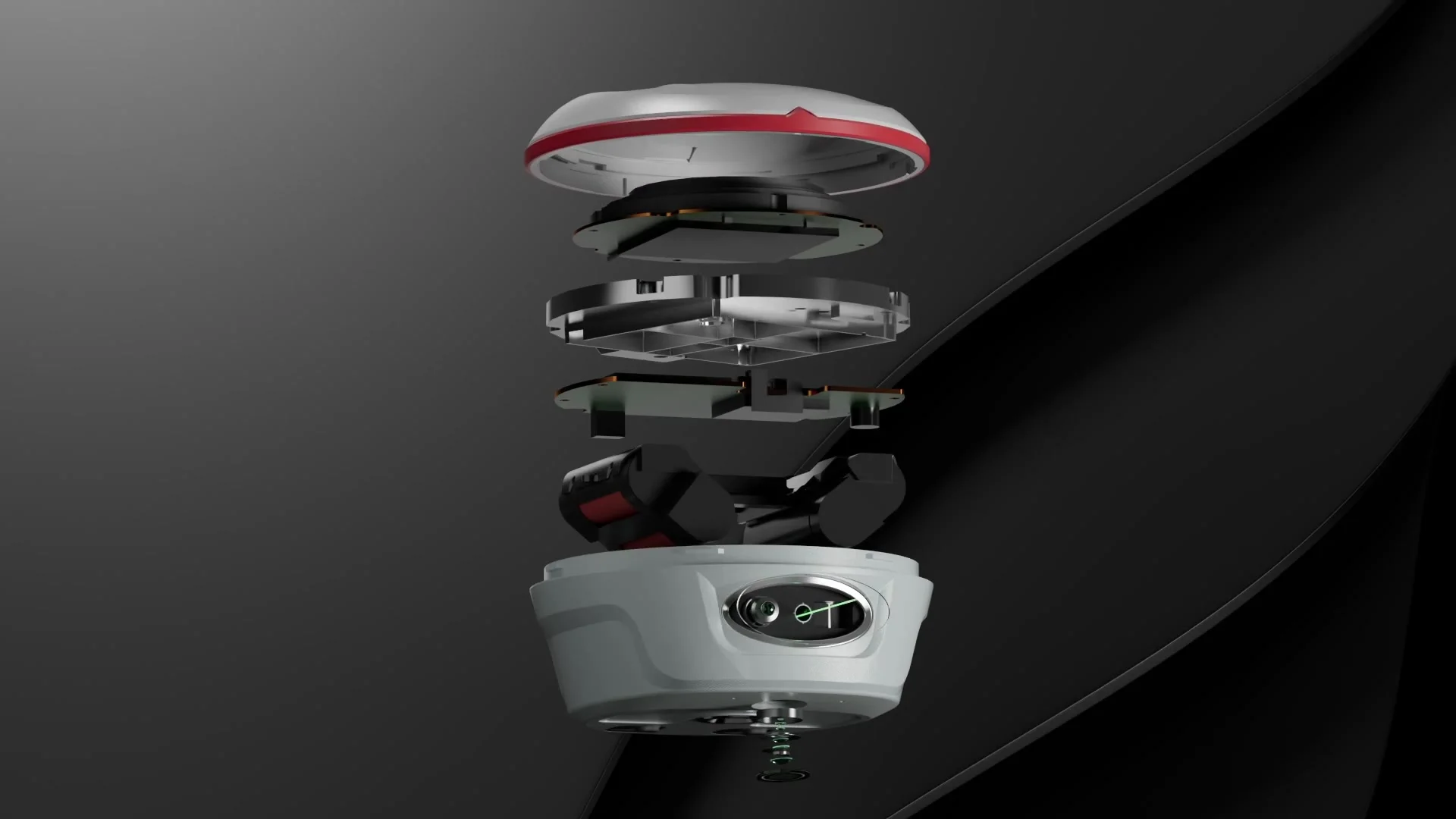
Exploded view of the Jupiter Laser RTK with housing, electronic boards and battery
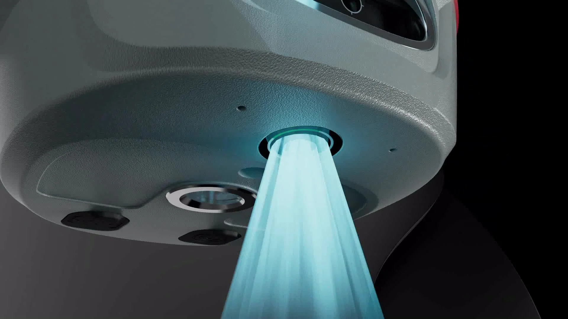
Close-up of the Jupiter Laser RTK lower camera for visual stakeout
Laser and dual camera

Jupiter Laser RTK inherits the laser technology of the Universe Series and combines it with SinoGNSS visual stakeout, to survey even in areas that are hard to reach, signal-blocked or dangerous.

The laser measures points where the pole cannot be placed, because they are hard to reach, have obstructed signal or are dangerous. It has a range of 50 m, an accuracy of (3-5) mm + 1 ppm at room temperature and measures at 3 Hz, up to 5 Hz. It is a Class 3R laser, with emission power from 0.9 to 1.5 mW.

Tilt compensation up to 120° also applies in laser mode: Jupiter Laser RTK measures the aimed point even with the pole tilted. With the laser at a distance of 5 m and the pole tilted by 60°, the measurement accuracy is 3.5 cm. Useful data to know what to expect when measuring at a distance with the pole not level.

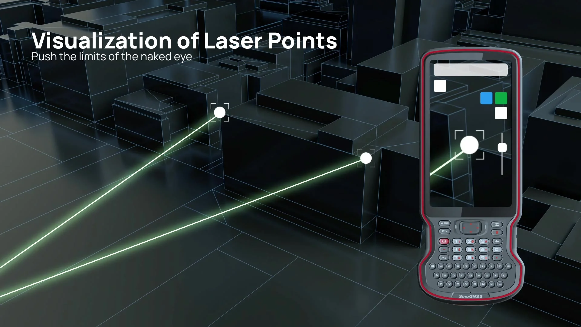
Jupiter Laser RTK has two 2 MP cameras with global shutter, with a field of view of 75° and 30 fps. They let you see on the controller the point to measure or stake out, even when it is too far away for the naked eye, and make fieldwork faster and more efficient.

Communication and connectivity

Super Datalink, up to 15 km with SNLonglink

UHF radio compatible with the main brands

The internal UHF datalink of Jupiter Laser RTK transmits and receives across the whole 410-470 MHz band, with power adjustable to 0.5, 1 or 2 W. It supports the Transparent, TT450S, South, Mac and SNLonglink protocols, so it works with all ComNav receivers and those of the main brands. The range is 3-15 km; with SNLonglink it reaches 15 km in ideal conditions.


WiFi, Bluetooth and data

To connect to the controller there are WiFi 802.11 a/b/g/n at 5 GHz and Bluetooth 4.0, compatible with Windows and Android, plus a serial port up to 921,600 bps and the Type-C port. Corrections travel in RTCM 2.X, 3.X, CMR and CMR+; the internal memory is 4 GB, expandable.

Jupiter Laser RTK with green laser and active cameras for surveying and stakeout

Ready for the field,
all day long

Jupiter Laser RTK has an aluminum and magnesium alloy housing, IP67 protection against water and dust and withstands a 2 m drop onto concrete. It works from -40 °C to +65 °C and the 5000 mAh battery provides up to 16 hours of working time.

One receiver, more ways to measure

The green laser of Jupiter Laser RTK stays visible even in daylight and lets you measure at a distance the points where the pole cannot be used. You aim, measure and move on: there is no need to physically reach the point, and fieldwork becomes faster and more efficient.
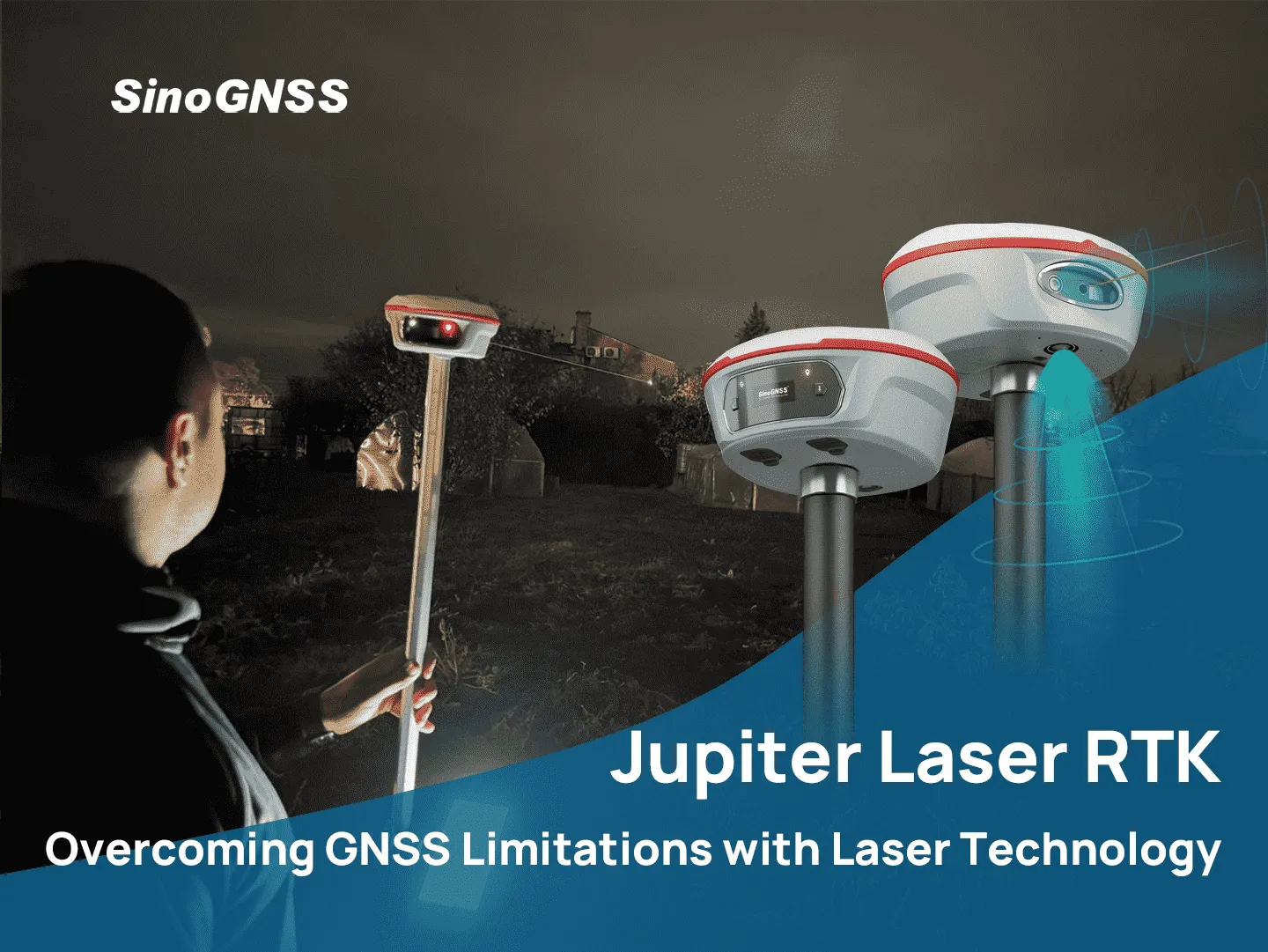
Operator outdoors with the Jupiter Laser RTK on a pole and the laser on

The 1.1-inch color OLED display shows satellites, fix status, power and battery at a glance, while two LEDs indicate tracking and RTK corrections. The housing is made of aluminum and magnesium alloy and the instrument is protected against water and dust according to IP67.
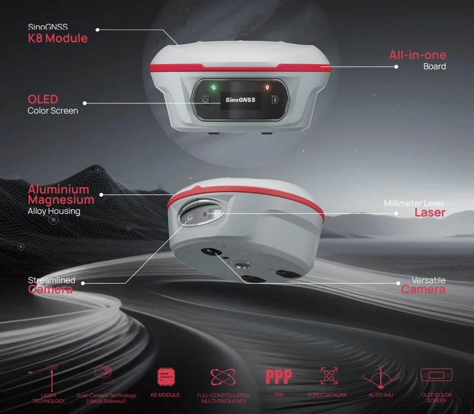
Jupiter Laser RTK infographic with OLED display, alloy housing, laser and cameras

With the cameras, Survey Master offers a 3D view and shows the point to stake out marked directly on the ground. With the directional arrow and the real-time distance, the operator approaches the point without uncertainty and finds it on the first attempt, even with little experience.
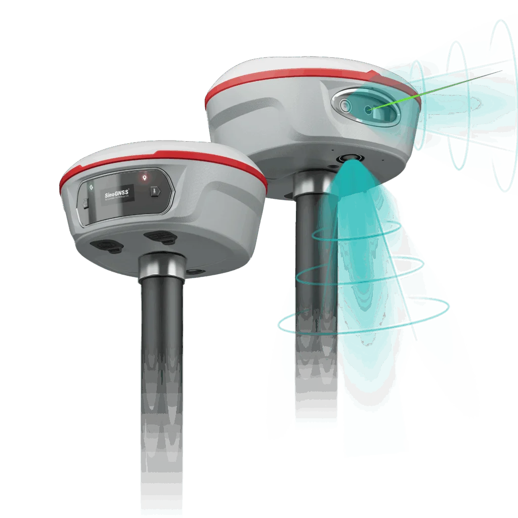
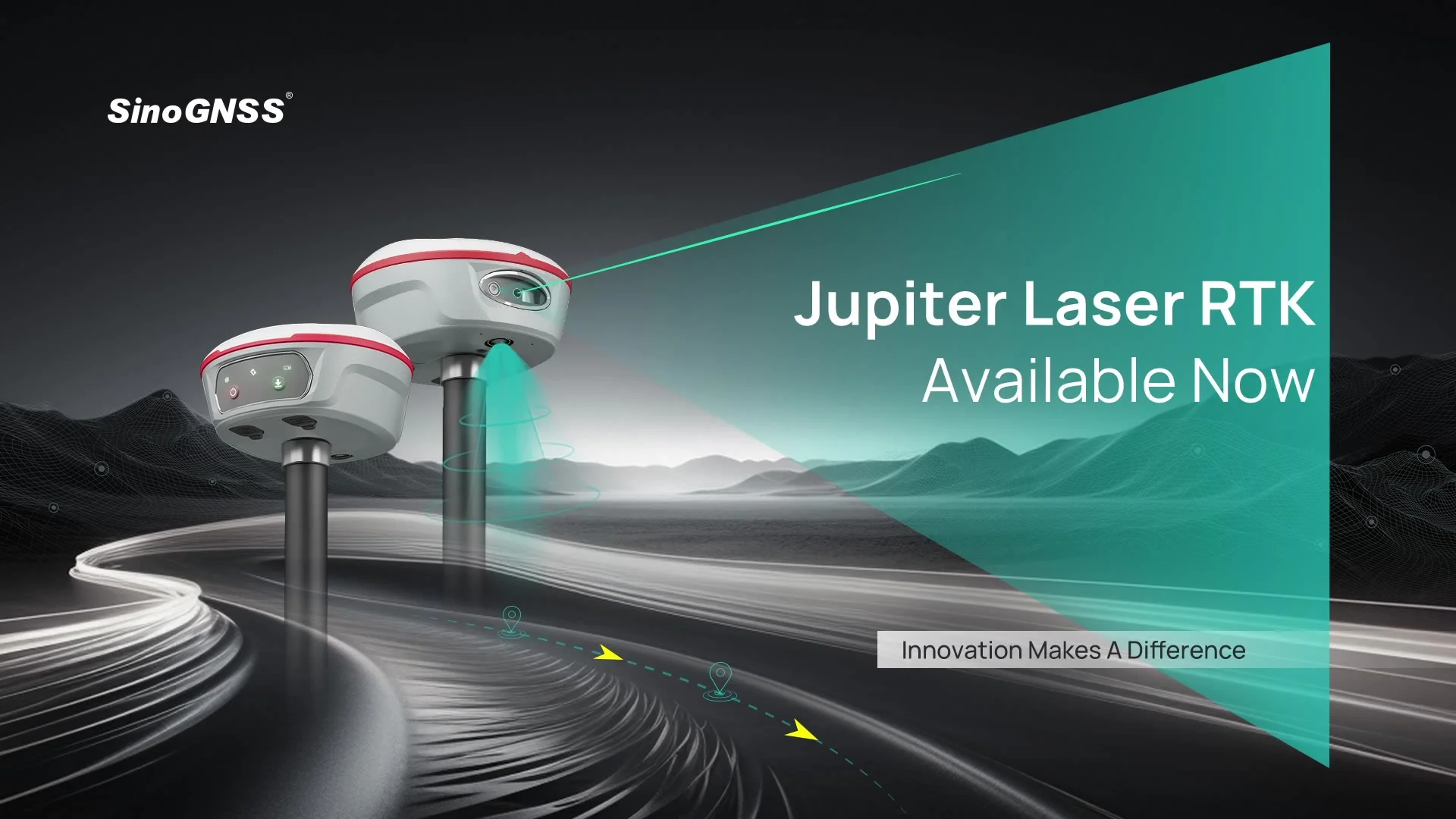
Two Jupiter Laser RTK receivers on a pole, with laser beam and lower camera

In Jupiter Laser RTK, GNSS, IMU, laser and cameras are integrated into a single receiver, for more immersive surveying and stakeout. The laser measures, the cameras show where you are aiming and the IMU compensates tilt up to 120° in all three modes: conventional, laser and visual.
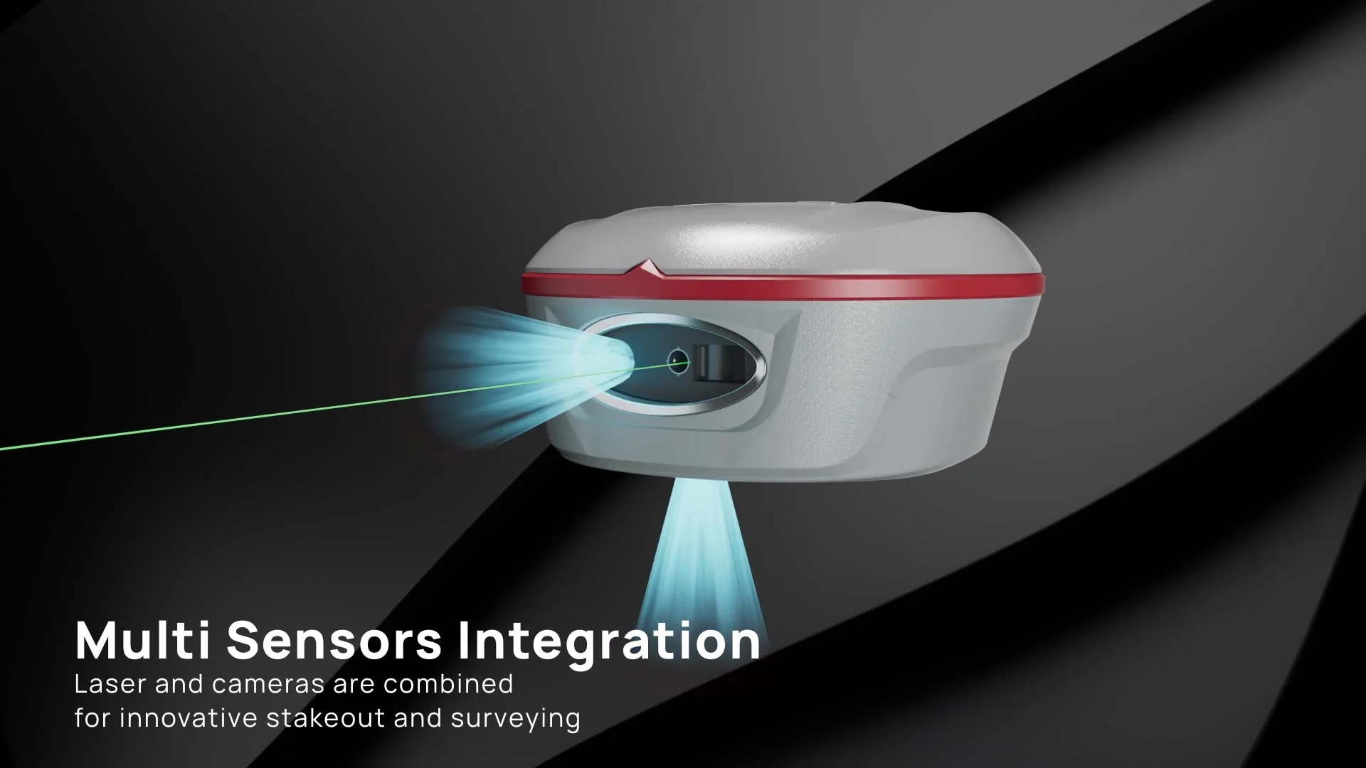
Jupiter Laser RTK with green laser and active cameras

The laser has a range of 50 m, an accuracy of (3-5) mm + 1 ppm at room temperature and a measurement frequency of 3 Hz, up to 5 Hz. It is Class 3R and works from -20 °C to +50 °C. With the pole tilted by 60° at 5 m the accuracy is 3.5 cm.

Jupiter Laser RTK, front window with laser and camera

Points measured with the Jupiter Laser RTK laser displayed on the controller
Surveying and post-processing software

Survey Master for Android

Jupiter Laser RTK works with Survey Master, compatible with most Android devices. The guided wizard simplifies the work and supports static, PPK and RTK modes, surface stakeout, surveying for mapping and the import of CAD files to use directly for stakeout.

Maps, cloud and support

Survey Master uses DXF, SHP, KML, GPX files and Google Maps as background maps, offers remote support, cloud storage and data sharing, and converts ComNav Binary raw data to RINEX. It connects to ComNav and NMEA devices and supports multiple languages and coordinate systems. Microsurvey FieldGenius for Android and Windows is also available as an option.

Post-processing with SinoGNSS Compass

For post-processing there is SinoGNSS Compass, with a complete GPS, GLONASS, BeiDou and Galileo solution. It processes RINEX and ComNav Raw Binary data in static and kinematic, produces reports in web format, DXF, TXT and KML and supports the DJI drone data format, with results ready to import directly into photogrammetry and 3D modeling software.

Frequently asked questions about Jupiter Laser RTK

What is the Jupiter Laser RTK laser for?

The green laser of the Jupiter Laser RTK measures points where the pole cannot be placed, such as areas that are hard to reach, signal-blocked or dangerous. It has a range of 50 m and an accuracy of (3-5) mm + 1 ppm at room temperature.

The cameras of the Jupiter Laser RTK show in Survey Master a 3D view with the point to stake out marked on the ground. By following the directional arrow and the real-time distance you reach the point in one go, without moving the pole back and forth.

In RTK the Jupiter Laser RTK has an accuracy of 8 mm + 1 ppm horizontally and 15 mm + 1 ppm vertically (RMS). Initialization takes less than 5 seconds with a 10 km baseline, with a reliability of 99.99%.

Yes. The Auto-IMU of the Jupiter Laser RTK compensates tilt up to 120° with 2.5 cm accuracy, without manual initialization. Compensation up to 120° works in conventional, laser and visual modes; with the laser at 5 m and 60° of tilt the accuracy is 3.5 cm.

The Jupiter Laser RTK has 1,668 channels and tracks GPS, BeiDou, GLONASS, Galileo, QZSS, IRNSS and SBAS, over 60 satellites. It also supports PPP B2b and HAS and L-Band; the PPP service is optional.

Yes. The UHF datalink of the Jupiter Laser RTK supports the Transparent, TT450S, South, Mac and SNLonglink protocols and works with all ComNav receivers and those of the main brands. The range is 3-15 km, up to 15 km with SNLonglink in ideal conditions.

The 5000 mAh Li-ion battery of the Jupiter Laser RTK provides up to 16 hours of work, with a consumption of 1.8 W. Consumption increases when transmitting corrections with the internal UHF radio.

The 3D TARGET technical and sales team offers a free consultation to recommend the configuration best suited to your operational needs. Use the Request more information button on this page.

Application scenarios

Two Jupiter Laser RTK receivers on a pole with laser and camera in a landscape

Find out how Jupiter Laser RTK can revolutionize your workflows

Topographic surveying GNSS RTK | Laser measurements without a pole | Visual stakeout with the cameras

Our technical and sales team is ready to offer you a free consultation to discover Jupiter Laser RTK and recommend the solution best suited to your operational needs. Contact the 3D TARGET experts.

Data sheet

Dimensioni
13.35 cm (diameter) × 6.6 cm
Peso
828 g with internal battery
Sicurezza laser
Class 3R
Durata della batteria integrata
16 h (consumption 1.8 W, which increases when transmitting corrections via internal UHF)
Precisione di posizionamento RTK
Horizontal 8 mm + 1 ppm RMS | Vertical 15 mm + 1 ppm RMS | Initialization in less than 5 s (10 km baseline), reliability 99.99%
Tipo di rilevamento
GNSS RTK receiver with IMU, laser and dual camera | Tilt compensation up to 120° with 2.5 cm accuracy | Compensation up to 120° in conventional, laser and visual modes
Risoluzione
2 x 2 MP cameras with global shutter | Field of view 75°
Frequenza fotogrammi
30 fps
Capacità
5000 mAh Li-ion
Tensione standard
7.2 V
Raccolta ed elaborazione dati
RTCM 2.X, 3.X, CMR and CMR+ corrections (GPS only) | NMEA-0183, PTNL, PJK, GGK, ComNav Binary output up to 20 Hz | Position at 1, 2, 5, 10, 20 Hz
Funzioni extra
Green laser: range 50 m, accuracy (3-5) mm + 1 ppm at room temperature, frequency 3 Hz (max 5 Hz), power 0.9-1.5 mW | Tilted laser measurement: 3.5 cm (5 m, 60°)
Frequenza GNSS
1,668 channels | GPS L1C/A, L1C, L2P, L2C, L5 | BDS B1I, B2I, B3I, B1C, B2a, B2b | GLONASS L1, L2, L3 | Galileo E1, E5a, E5b, E6c, E5 AltBOC | QZSS L1C/A, L2C, L5, L1C | IRNSS L5 | SBAS L1C/A | PPP B2b and HAS | L-Band
Precisione del sistema
Static and rapid static: H 2.5 mm + 0.5 ppm, V 5 mm + 0.5 ppm RMS | Long-observation static: H 3 mm + 0.1 ppm, V 3.5 mm + 0.4 ppm | DGPS 0.4 m RMS | SBAS: H 0.5 m, V 0.8 m RMS | Standalone 1.5 m 3D RMS
Distanza di trasmissione massima
Internal UHF: 3-15 km; up to 15 km with SNLonglink in ideal conditions
Temperatura operativa
-40 °C to +65 °C | Storage -40 °C to +85 °C | 100% humidity, non-condensing
Grado di protezione IP
IP67 (water and dust) | Withstands 2 m drops onto concrete | MIL-STD-810G Method 514.6 vibration
Spazio disco
4 GB, expandable
Connettività
UHF Tx/Rx 410-470 MHz, 0.5/1/2 W, Transparent/TT450S/South/Mac/SNLonglink protocols | WiFi 802.11 a/b/g/n 5 GHz | Bluetooth 4.0 | Serial up to 921,600 bps | Type-C
Software
Survey Master (Android) | Optional: Microsurvey FieldGenius for Android and Windows | Post-processing: SinoGNSS Compass