Terrestri
High-precision 3D reality capture
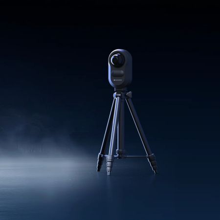
Terrestrial laser scanners provide professional-grade solutions for the digitalization of infrastructures, architectural heritage, and industrial sites. Utilizing high-speed LiDAR sensors, these devices capture millimeter-accurate point clouds, streamlining BIM workflows and Digital Twin creation. Essential for surveying, structural monitoring, and conservation, they deliver objective, actionable data for complex engineering and architectural projects.