Mobile
High-precision dynamic 3D scanning
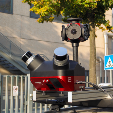
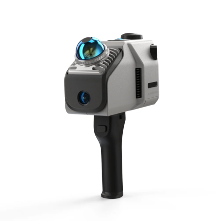
Mobile Laser Scanning systems lead the way in geospatial data acquisition on the move. Engineered for vehicle, UAV, or handheld (SLAM) integration, these solutions enable the mapping of complex infrastructures, tunnels, and urban environments. By significantly reducing field time compared to static methods, they deliver high-density, georeferenced point clouds essential for BIM workflows and Digital Twin creation.