DJI Matrice 5T: use cases for emergency, inspection and surveying
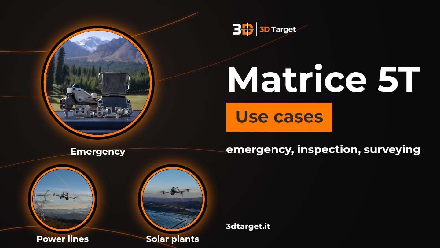
A power line to inspect, a person to search for at night, a solar plant with a hot spot: DJI Matrice 5T is built for missions where visibility is the problem. But where exactly is it useful? On this page we look at it from the point of view of those who work in the field: emergencies and search, power line and bridge inspection, solar plants and grids, patrol and security and surveying.
If you first want to understand how the drone is built and what the technical data mean, start from the previous article: DJI Matrice 5T: enterprise drone with LiDAR, radar and 1K thermal camera. Here we focus on uses. The data are those declared by DJI; to understand whether they suit your case, 3D Target is at your disposal.
Why a drone that sees at night changes field work
A drone with thermal camera, LiDAR and radar can work when human sight is not enough. For Matrice 5T DJI indicates emergencies, inspections and surveys in difficult weather, with IP55 protection, temperatures from -20 °C to 50 °C and up to 59 minutes of declared flight time. The sections below start from these indications.
Emergencies, search and rescue
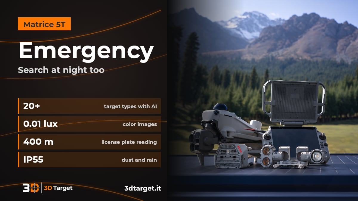
Emergencies are among the scenarios DJI indicates for Matrice 5T. The 1K thermal camera and night vision help when light is missing.
1K thermal camera: 1280 × 1024 native pixels, 2560 × 2048 with UHR mode.
Low light: color images down to 0.01 lux and black-and-white night vision with 11x optical and 176x hybrid zoom.
AI recognition: more than 20 types of targets, including vehicles and vessels, and search by text or image with DJI FlightHub 2.
Difficult weather: the mmWave radar keeps working in fog, rain or dust.
You choose it when you need to search or monitor at night or with poor visibility. Authorizations and flight rules remain the operator's responsibility.
Power line and bridge inspection
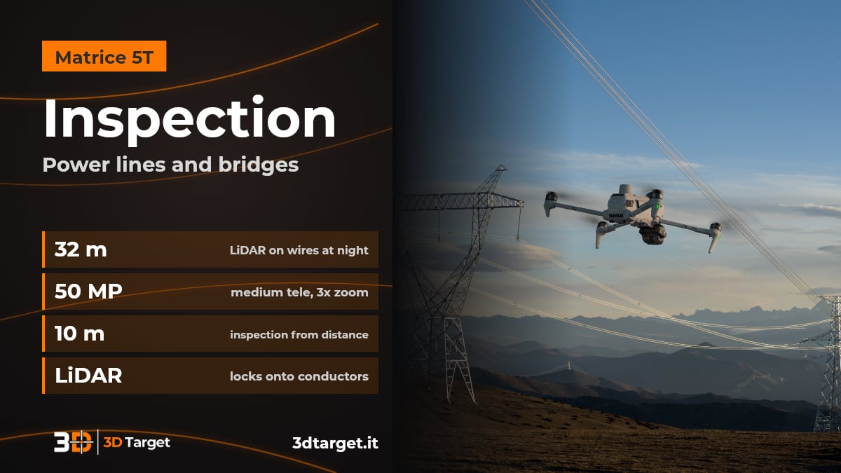
Power lines and bridges are two inspections mentioned by DJI for Matrice 5T.
Thin wires: the LiDAR detects obstacles such as power lines up to 32 meters away, even at night.
Flying along the line: the top LiDAR detects and locks onto conductors and ground wires, to fly sideways and spot broken strands or suspended objects.
Details from a distance: 50 MP medium telephoto with 3x optical zoom to inspect from 10 meters.
You choose it when you need to inspect infrastructure at height without getting too close.
Solar plants and grids: thermal anomalies and surveys
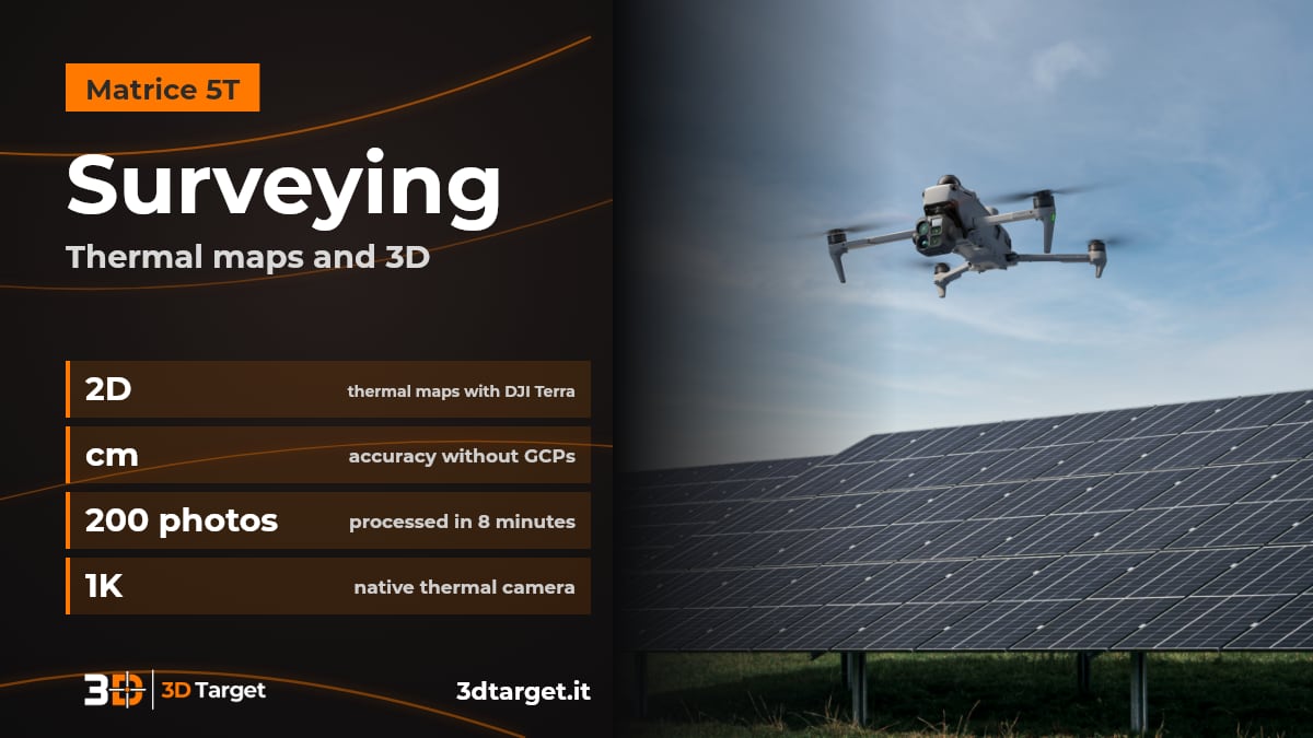
With DJI Terra thermal images become 2D thermal maps that flag anomalies. DJI mentions solar plants and power grids.
Temperatures: DJI Terra reads temperatures and flags anomalies.
Accuracy: centimeter-level surveying without ground control points (GCPs).
In the field: 200 photos processed in 8 minutes on the remote controller for local point clouds or 2.5D models.
You choose it when you want to check large areas and get a first map on site right away.
Patrol, security and multi-drone operations
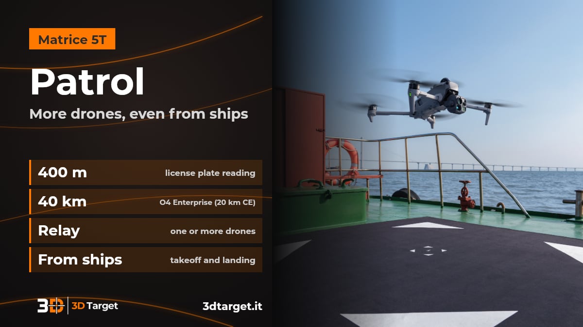
Patrol, search for vehicles and vessels and license plate reading are uses described by DJI.
Guided routes: with DJI FlightHub 2 you draw an area on the map and the patrol route is generated, with actions such as hover, photo, video or audio messages.
License plates: the telephoto can read them up to 400 meters away.
Distance and relay: transmission up to 40 km (20 km with CE standard) and relay topologies for one or several drones.
From vessels: takeoff and landing on moving vessels by recognizing the marker on the deck.
You choose it when territory control requires coverage, even with several drones and in areas that are hard to connect.
How to tell if DJI Matrice 5T is right for you
To evaluate whether Matrice 5T is suitable, there are five questions to ask first:
Do you operate at night or with poor visibility? 1K thermal camera, night vision, LiDAR and radar are designed for this.
Do you have thin obstacles to avoid? The LiDAR detects power lines up to 32 meters away.
Do you work in areas with weak GNSS signal? The drone fuses visual and radar data.
At what distance do you need to operate? Up to 40 km (20 km with CE standard) declared, with relay to extend.
How do you use the data? Thermal maps and surveys with DJI Terra, mission management with DJI FlightHub 2.
Remember that drone flight regulations depend on the country and the type of operation: check them before setting up the service.
With 3D Target you are not alone in the field
Consulting: we help you understand whether DJI Matrice 5T suits your missions.
Test and demo: ask us to see the system in action.
Training: courses to use the drone and software, such as the DJI Advanced GEO Products Training courses.
Support: technical support after purchase.
Integration: our R&D department works on custom solutions.
Discover the 3D Target services, the DJI Matrice 5T product page, the drone applications and the enterprise drones catalog. For the official specifications: DJI announcement on Matrice 5T.
Frequently asked questions
Where can DJI Matrice 5T be used?
DJI indicates emergencies, inspections and surveys in difficult weather: power lines, bridges, solar plants, power grids, patrol and search for vehicles and vessels.
Can it fly at night?
Yes: it has a 1K thermal camera, color images down to 0.01 lux, night vision with zoom and a LiDAR that detects thin wires up to 32 meters away even at night.
How does it inspect a power line?
The top LiDAR detects and locks onto conductors and ground wires, allowing a sideways flight along the line to spot broken strands or suspended objects.
Is GNSS needed to fly?
With a weak GNSS signal the drone fuses visual and radar data to build a real-time environment map.
Can I survey without control points?
DJI declares centimeter-level accuracy without ground control points (GCPs), with DJI Terra for processing.
How much does it cost and how do I order it?
We work on quotation. Write to info@3dtarget.it or call +39 030 5357677, or use the contact page.
Do you have a mission in mind?
Tell us what you need to inspect, search or survey and in which conditions: we will tell you whether DJI Matrice 5T is the right solution and how to start.
Technical data are those declared by DJI in the announcement of 5 November 2026, obtained with a production model in a controlled environment, and may vary. For up-to-date data, ask us for confirmation. DJI is a trademark of its respective owners.