3D Target at SAIE 2026
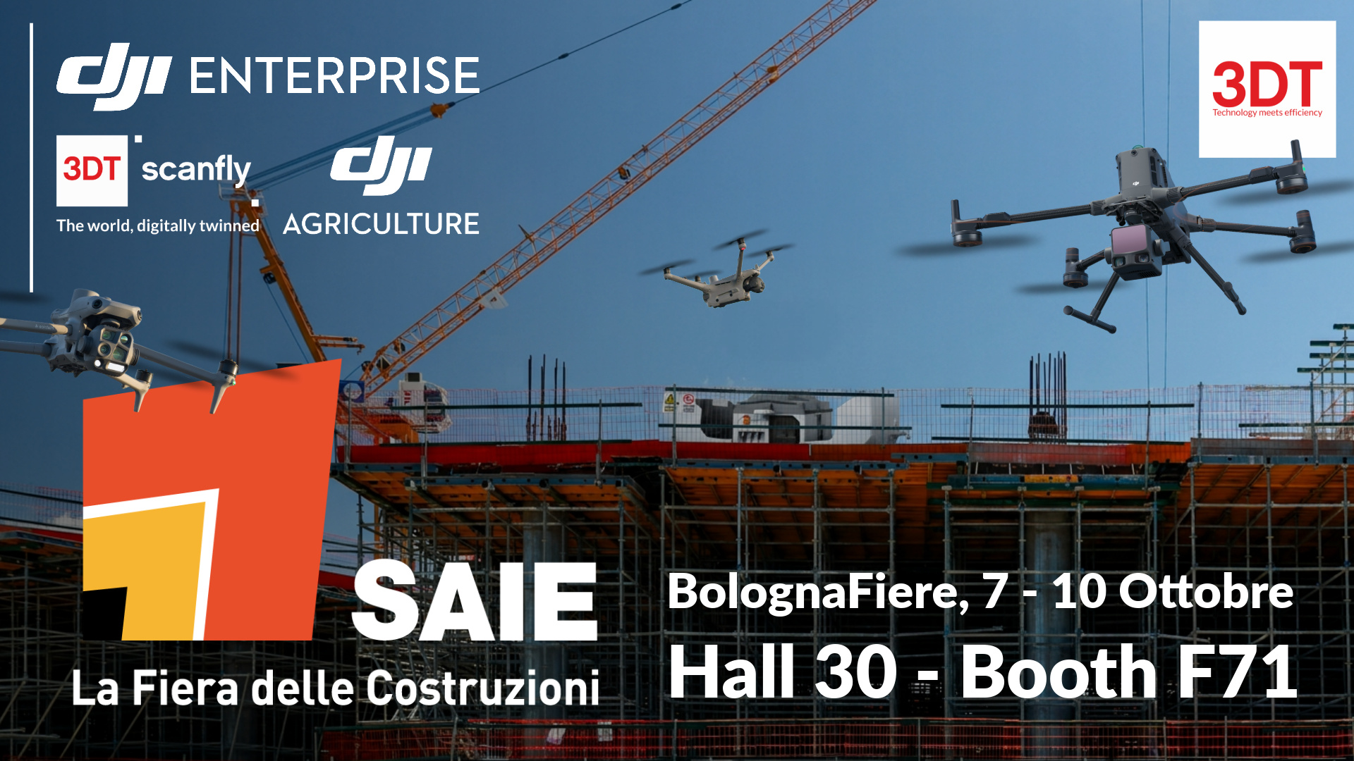
From 7 to 10 October 2026 we will be at SAIE Bologna, Italy's construction fair. At the 3D Target stand, Hall 30, Stand F71, in the Design and Digitalisation sector, we present solutions for the survey, monitoring and inspection of construction sites, buildings and infrastructure: from DJI Enterprise drones to mobile mapping systems for cars and backpacks.
At a glance
-
When: 7–10 October 2026
-
Where: BolognaFiere, Hall 30, Stand F71
-
Entry: free for industry professionals, online registration required
We are a DJI Enterprise Authorized Dealer, and since 2008 we have supported Italian professionals, companies and public bodies in the shift to digital surveying. We do it with technologies selected from the industry's leading manufacturers and with a service that covers every stage, from choosing the right solution to training and after-sales support.
«The construction industry needs data that is faster, more reliable and easier to share at every stage of a project. At SAIE we bring the technologies and the expertise to deliver it, with an approach that always starts from the client's operational problem.»
Roberto Pargalia, Sales Director, 3D Target
Solutions on display
At the heart of the stand are the DJI Enterprise solutions for surveying and monitoring construction sites.
DJI Matrice 400 + DJI Zenmuse L3
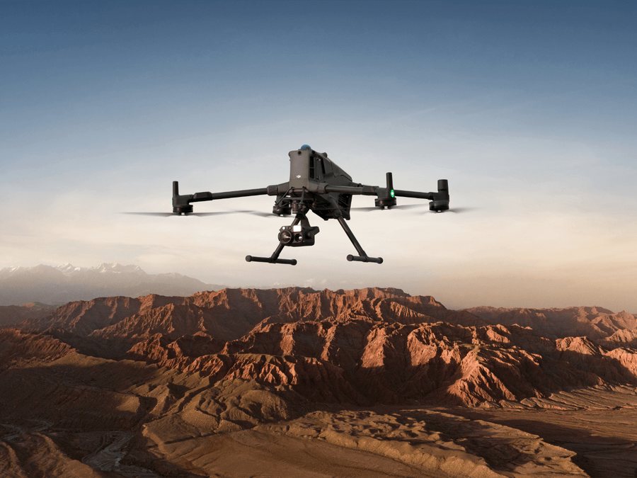
The flagship DJI Enterprise platform, paired with the new Zenmuse L3 LiDAR, surveys large areas with centimetre-level accuracy. In a single flight it captures point clouds and orthophotos ready for CAD, GIS and as-built models.
DJI Dock 3 + DJI Matrice 4TD
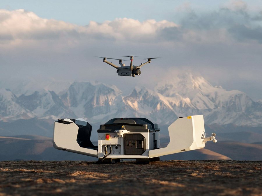
Site monitoring becomes automatic and can be managed remotely, 24 hours a day. The drone takes off and lands on its own to document work progress, carry out thermal inspections and keep watch over the site. Everything is managed with DJI FlightHub 2, installed in the cloud or on-premises.
To complete the DJI offering, we present real application cases and processing workflows with DJI Terra, from field acquisition to final deliverables.
3DT Scanfly EVO, PRO and DUO: LiDAR mobile mapping on cars and backpacks
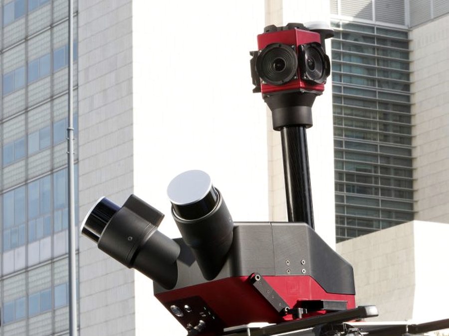
When the survey moves to ground level, the 3DT Scanfly range comes into play: LiDAR mobile mapping systems developed by 3DT. Mounted on a vehicle or worn as a backpack, they survey roads, networks and urban areas, as well as interiors and historic city centres that vehicles cannot reach.
-
Scanfly EVO: The entry-level, lightweight and multi-platform solution for getting started with mobile LiDAR surveying.
-
Scanfly PRO: The compact, high-performance mapper, reliable even where GNSS is weak, such as in tunnels and urban canyons.
-
Scanfly DUO: The dual-LiDAR vehicle system for surveying roads, networks and infrastructure.
The range is completed by the SmartSurvey, SmartProcessing and SmartProcessing Lidar software, from real-time survey control to the point cloud and automatic data extraction.
Meet our team
Behind every solution is our technical team, available at SAIE to help you choose the most suitable one. They will also introduce our training programmes, including the DJI Advanced GEO Product Training, and our rental, support and calibration services.
We look forward to seeing you in Bologna.
Useful information
-
Dates: 7–10 October 2026
-
Opening hours: Wednesday–Friday 9:00–17:30, Saturday 9:00–17:00
-
Venue: BolognaFiere, Viale della Fiera 20, 40127 Bologna, Italy, North and West Costituzione entrances
-
Stand: Hall 30, Stand F71
-
Entry: free for industry professionals, online registration required